osgearth
 osgearth copied to clipboard
A 3D Mapping Engine & SDK for OpenSceneGraph.
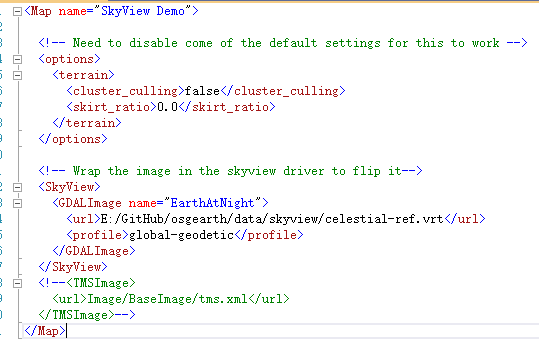
Hellow everyone, I use the branch of 3.3,the osg version is 3.6.5,when I run this example , it will crash.How should I do this is my earth file:  This...
Hi, I have just upgraded osgearth-3.2 to the 3.3 release. It has been compiled and built using cmake without any issues but when I run any of the utils in...
I use mingw32 to cross compile (version 2.9), osg3.6.5 (plugin3.7.0), gdal 2.1.2, and allow gl3, but always prompt an error message: [osgEarth] [VirtualProgram] Program link failure! Can anyone help me...
I compiled OsGearth using VCPKG, configured as GL3, and found that it was a bit slower than my previous compilation using GL2. GL2's frame rate was a bit more stable...
Hi, Since I would like to migrate my project from osgearth 2 to 3, in building I have the following problem: in the class TileModel of OsgEarth (line 230) the...
Hi, I'm running osgearth v3.3 and osg v3.6.5 on win10. In my application which is based on Qt, the imgui ApplicationGUI is displayed as follow :  My problem is,...
### Discussed in https://github.com/gwaldron/osgearth/discussions/2024 Originally posted by **keince** March 23, 2022 I pulled the latest osgearth master into my local repo and rebuilt the solution. Now I'm getting the following...
This map shows incorrect rendering near the north pole. ```xml https://www.arcgis.com/sharing/rest/content/items/5e9b3685f4c24d8781073dd928ebda50/resources/styles/root.json ```
I'm using osgearth v3.3 on windows 10, GL3 profile. My application is build under a Qt QOpenGLWidget and features also ImGui. Here is the capabilities :  The problem is...
I've a simple earth file that is failing against a locally installed WMS (GeoServer): ##----------------------------------------------------- ##- MyMap.earth: world.tif http://localhost/geoserver image/png tiger-ny 512 EPSG:4326 true ##----------------------------------------------------- 'osgearth_viewer.exe MyMap.earth' returns the following:...
