Ryan May
Just a reminder that if you want this for 0.17, there's just a few days left.
This issue should be re-opened since #16022 was reverted.
Also, looks like we have a bad 0-360 crossing in the level 2 example image that should be fixed: 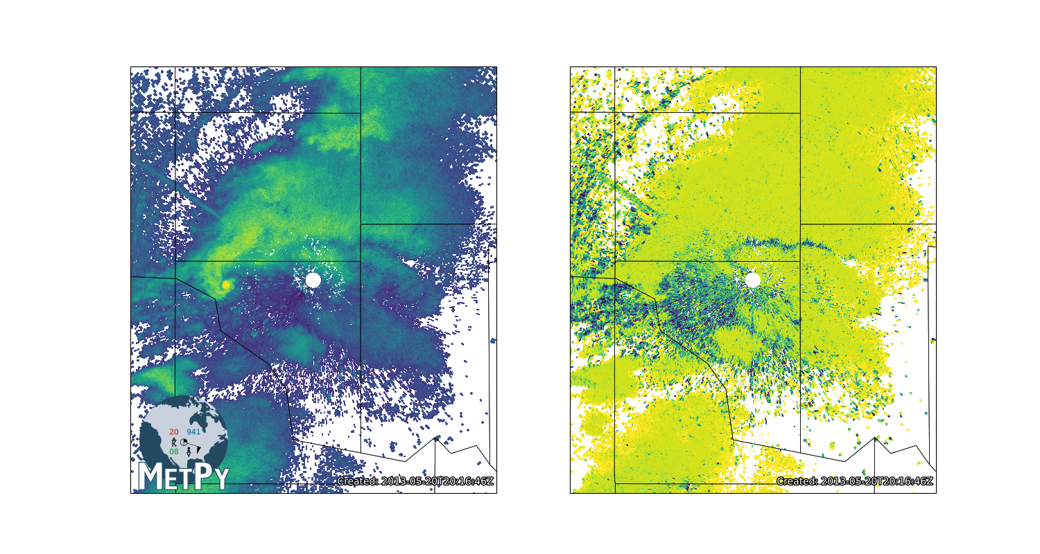
@sgdecker We updated the example to use `azimuth_range_to_lat_lon` in #2538. That's currently up on the dev docs, but no the released ones. To deal with the north-south artifact from the...
I'd be interesting in including something like this in the docs if it takes care of it (unless the data file is unreasonable which case maybe [python-training](https://unidata.github.io/python-training).) We should also...
Probably should be some combination of at least: * Documenting all metadata requirements for `cross_section` * Putting this in narrative documentation somewhere that's easily discoverable (maybe xarray tutorial though I...
@meihan33 You can still use the approach taken in the example notebook that @jthielen posted above. I *think* this will work: ```python cf_attrs = { 'grid_mapping_name': 'lambert_conformal_conic', 'standard_parallel': 38.5, 'longitude_of_central_meridian':...
Documentation can be improved by: 1. Writing non-crappy docstrings for the properties--I just didn't think about them being user-facing when I wrote them. 2. Can attach documentation to traitlets: ```python...
If you come up with any leads on things that help address the shortcomings you're running into, we're happy to take a look.
@kgoebber I know we talked about coloring map layers before, and now I don't remember where we ended up. I have a fuzzy inkling around "I don't want to add...