Andrew
> @dechristopher awesome! This feature has been [requested before](https://github.com/go-spatial/tegola/issues/610) so it's great you tackled it! I should be able to get a review in the next week. > > cc...
> I'll look at this Friday. @dechristopher do you know why the test is failing? Have not dug into the logs. But a quick scan is complaining about bbox. I...
@kszafran this is all great feedback and I'm happy to see others interested in getting this feature wrapped up and merged. Admittedly, I've not had enough time to sit down...
I'd love to see an implementation of this by someone. I've been heavily modifying the retakes plugin and this is one of the last features I need.
Something like this would be useful for visualizing 3D paths as well. For example lines between two points in 3D space after #165 is implemented, or an implementation that allows...
@ZeLonewolf I'm currently generating tiles down to ZL8 to test this. I'll report back shortly with what I see. Worth noting that checking the raw response from PG yielded similar...
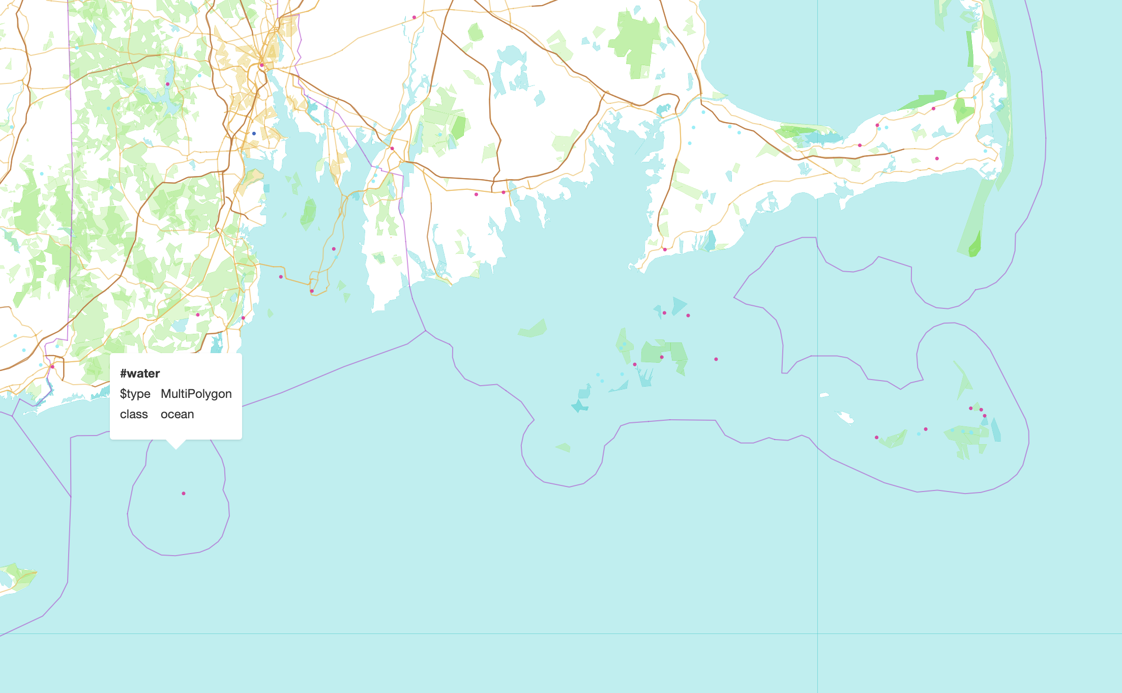 I'm not seeing the missing block but the islands are definitely covered.
I think this issue is due to the tileSize property in the terrain source. You need to set `tileSize: 512` since most of the DEM sources from MapTiler aren't 256...
As for the flat slopes and low elevation, make sure you're generating the tiles to support the equation given here: ``` height = -10000 + ((R * 256 * 256...
Nice fix! Now if only we could get a new release...