Daniel J. Dufour
Daniel J. Dufour
Things to consider: - [ ] Allow users to move GeoTIFF to another location on the map - [ ] Auto-warp after each control point is placed (and don't wait...
GeoBlaze needs to be updated to accept pre-defined classes: https://github.com/GeoTIFF/geoblaze/blob/master/src/histogram/histogram.module.js#L91
I'm working on this right now
Wrote code to check value of tool param, but should also validate all the params too. Perhaps create a validate_url_params function, which lives in a separate file. We should through...
Will probably have to write different methods for loading different types of files. Hard to put all the logic into one. - load_from_gz_file - load_tiff_from_file_disk - load_tiff_from_web_file - load_from_url
Came up with idea after seeing it done in https://observablehq.com/@toja/shaded-relief 
Dude, @sdpeyton check this out!
Hi, @ragnvald . Thanks for catching this! I'm looking at this right now!
When I tried to load the GeoTIFF from the url I got this error: 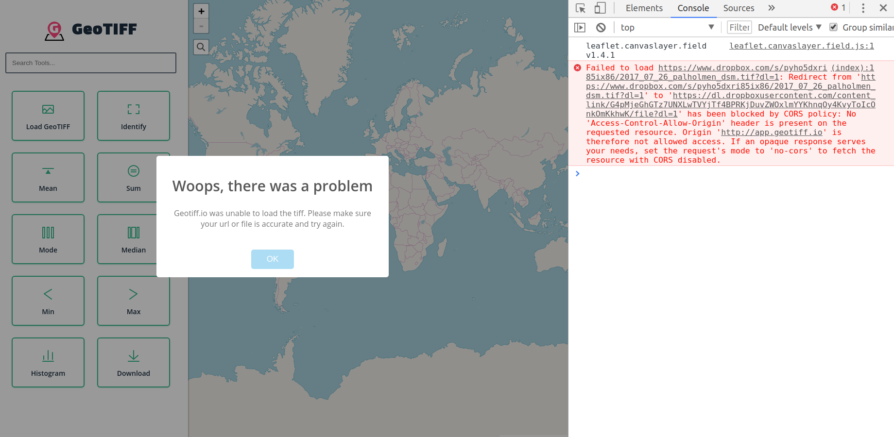 This means that Dropbox isn't allowing websites to directly load files. You'll have to download...
You can now adjust resolution through the URL Param: https://github.com/GeoTIFF/geotiff.io/blob/master/ADVANCED_FEATURES.md#adjusting-resolution