Stefanos Natsis
Stefanos Natsis
This means that when the user is close enough to a point for the used scale, the point is no longer visible, as it is hidden behind the user's marker....

On @saberraz 's `foss4g_2022_workshop` project, photos are stored on a geometryless table, but when editing a photo feature the split button is active. 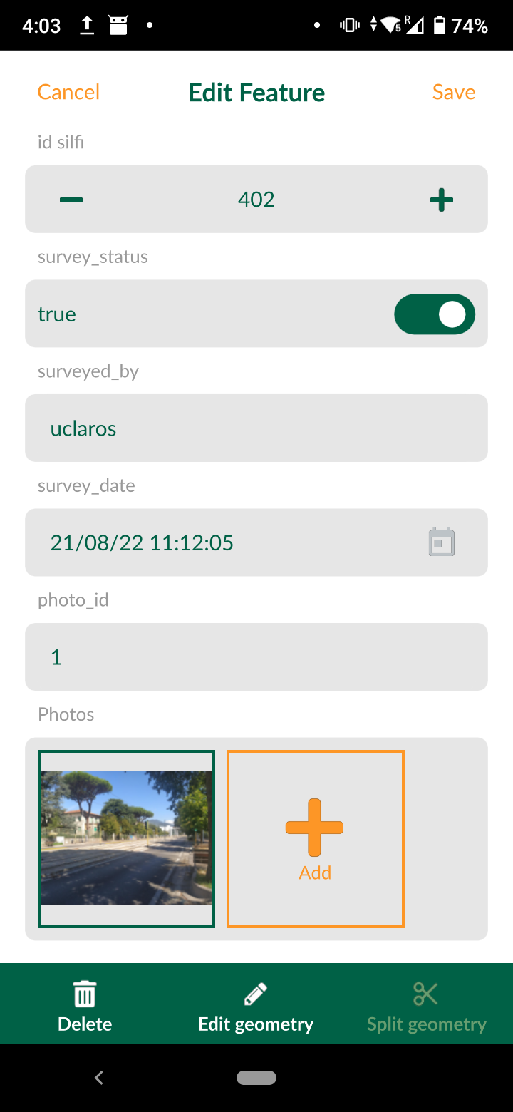 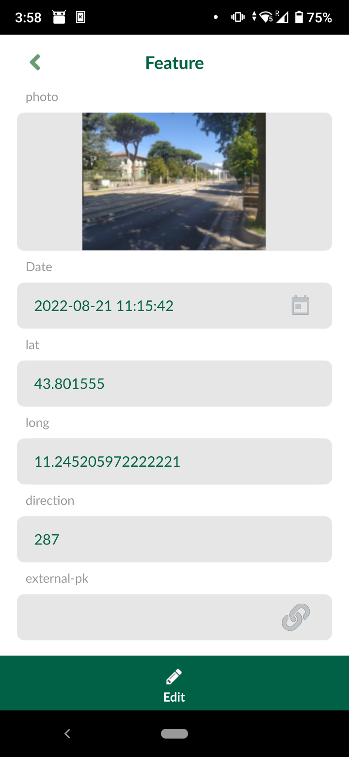 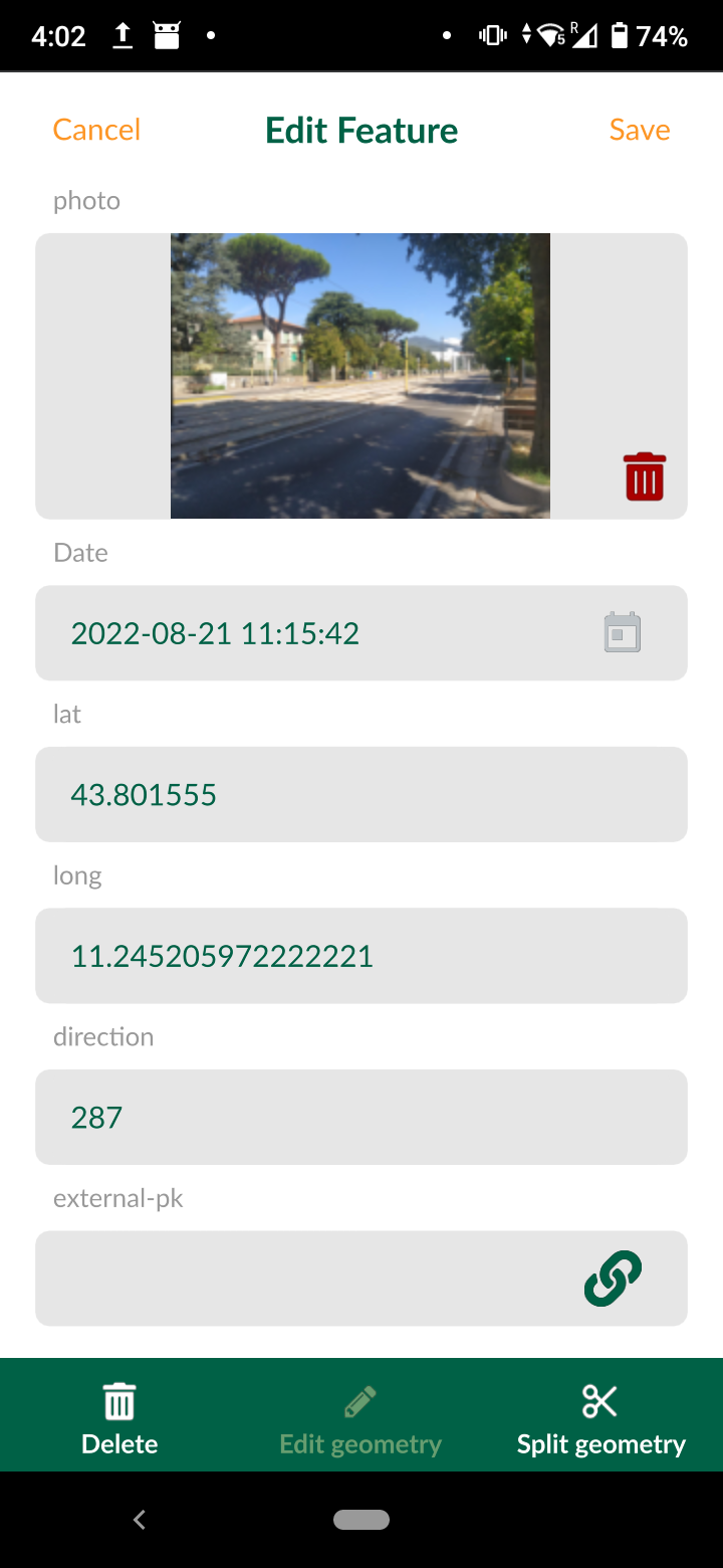
Requires https://github.com/MerginMaps/mergin-py-client/pull/150 Changes in classes `class MerginGroupItem(QgsDataCollectionItem):` and `class MerginRootItem(QgsDataCollectionItem):` are easier to review side-by-side before and after, the diff is messy. If server is old and does not support...
Starting QGIS was stuck while loading Mergin plugin. Sending a `ctrl+c` returns: ``` Couldn't load plugin 'Mergin' due to an error when calling its initGui() method KeyboardInterrupt Traceback (most recent...
## Description Empty nodes have an initial bbox with a huge elevation range which should be shrunk once actual values are available. Such nodes without data would still be taken...
## Description Wind Barbs are a common way to display wind strength and direction on maps. This PR adds a new _Wind Barbs_ symbology type for mesh vector datasets. ...
## Description When editing mesh layers, all MDAL mesh metadata are dropped from the modified file. This can break formats that rely on that metadata, like the mike21 format. This...
## Description Shape map tools would generate a new feature with no geometry when right click was pressed and fewer than necessary points were digitized. Ideally we should make those...
The preview drawer may display outdated values after a feature has been modified. Steps to reproduce: 1. Create a project in the app 2. Add a point 3. Set it's...
On a value relation field with > 10000 entries, only the first 10k are selectable. Entries beyond the 10k mark can be searched but once selected they are not stored....