dwsd
 dwsd copied to clipboard
designing with spatial data - workshop materials

https://bl.ocks.org/almccon/9c6502bdf30d5a2c8675235452e9178f Old v3 version: http://bl.ocks.org/almccon/cb30a0f6bdfa2aa5b15f8022b82bc8b1
http://bl.ocks.org/almccon/243e4a79de9257980fe1a0e4bc618dfc
http://bl.ocks.org/almccon/991e064a6680fed4726076d87406590c Because of all the shapes, this takes forever! There's a better way... https://github.com/stamen/dwsd/issues/8
In this case, I made the centroids in CartoDB:  Then the D3 map loads much quicker: http://bl.ocks.org/almccon/461d610e94d12d0a3cca8e530d3b03cd
http://bl.ocks.org/almccon/04b8859a5f8f259b82e2d3ecf73bca1f See also: http://andywoodruff.com/blog/value-by-alpha-maps/
For exploring the true scale of the map at various zooms: http://bl.ocks.org/almccon/0dff3feb062c11c88b8cc150aef60235 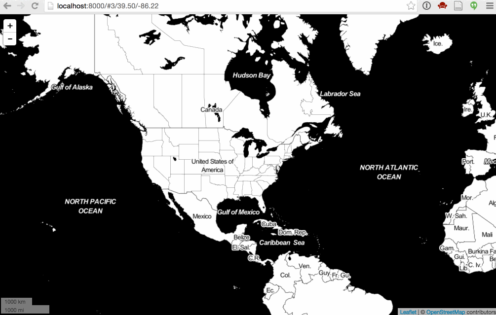 Note, for this one you'll have to clone or copy your bl.ock to your computer, and run...
Natural Earth provides three levels of generalization: [10m, 50m, 110m comparison](http://bl.ocks.org/almccon/b2d9eaea25b73a16a0ffeb3a2485054c) What do 10m, 50m, and 110m mean? Hint: they're not "meters".
Upload a file to Mapshaper.org 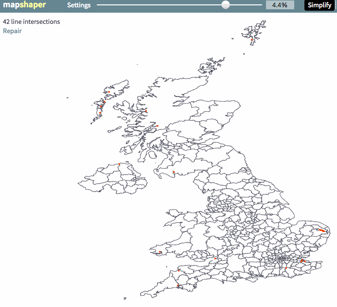 Experiment with the different simplification algorithms, use the slider to choose how simplified you want your shapes, and watch for the number of line...