Mathias Hauser
![]()
![]()
Mathias Hauser
## Proof of concept **Code** ```python import regionmask import shapely import xarray as xr def regions_contained(lon, lat, regions): # determine if the longitude needs to be wrapped regions_is_180 = regions.lon_180...
Thanks, per default it should use the newest version of rasterio, so most (new) users should automatically avoid this problem once the new rasterio version is out. If I understand...
https://github.com/perrygeo/python-rasterstats/pull/136
Subsample a regular grid cell 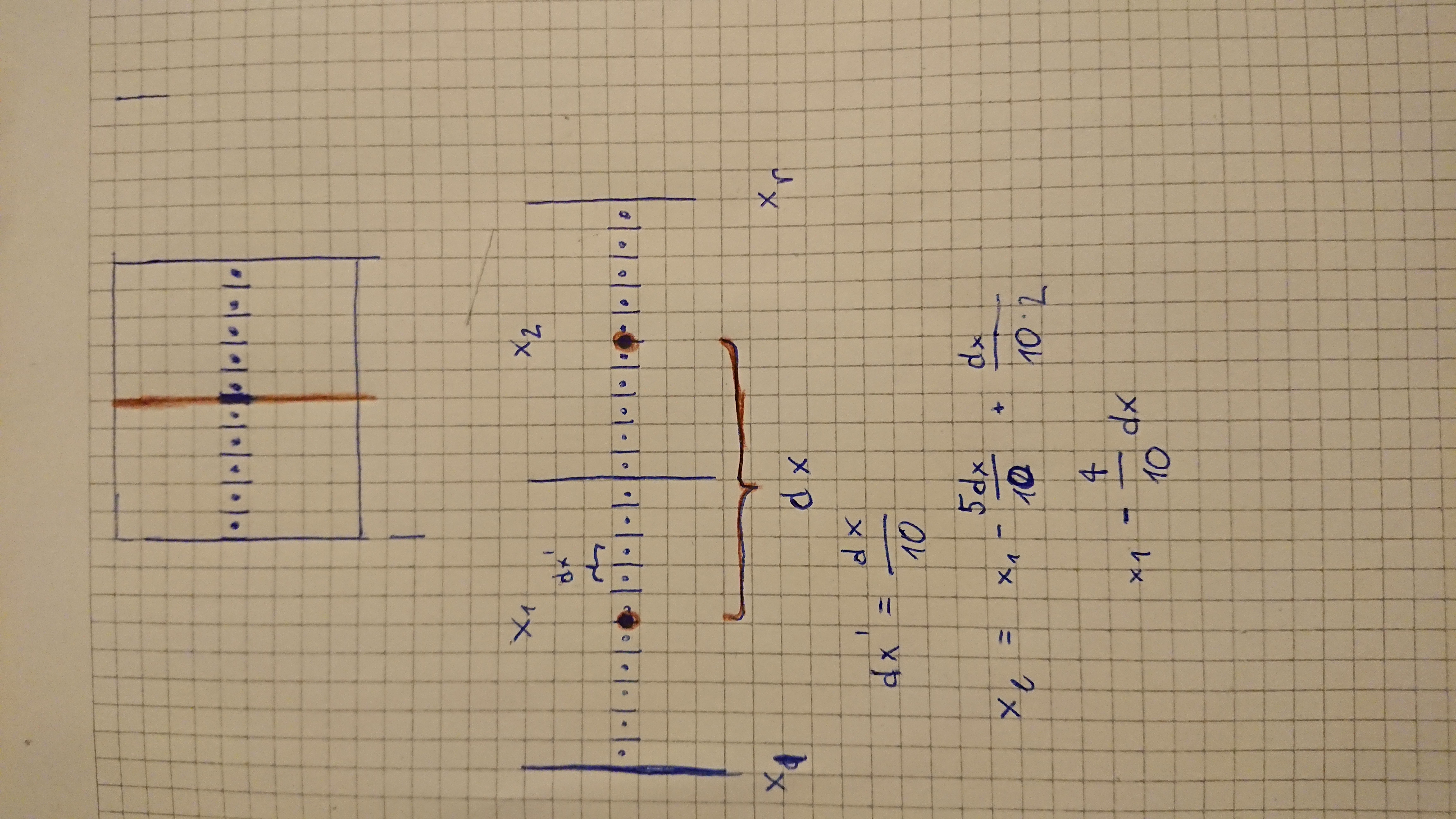
Code to subsample and coarsen the grid: -> see updated code in https://github.com/regionmask/regionmask/issues/38#issuecomment-1244406912 below Example: ```python import numpy as np import xarray as xr import regionmask lon = np.arange(-180, 180,...
should be `mask_fraction` and not `mask_percentage`
Thanks!
Thanks that's really cool! I need to study it more to know if inclusion here makes sense. I would probably create a new mask "method" - e.g. `mask_3D_frac_exact` (and the...
Updated code: ```python def sample_coord(coord): # sample coords for the percentage overlap d_coord = coord[1] - coord[0] n_cells = len(coord) left = coord[0] - d_coord / 2 + d_coord /...
geopandas and cartopy (and thus fiona and gdal) are already required dependencies... This would kind of require a `to_geopandas` method (which is anyway a good idea #50). I haven't used...