Josh Lee
Josh Lee

Fixes #833
When I have a raster layer, `map.showTileBoundaries = true` is showing 0kb: 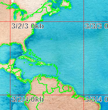 But it is documented as: > The uncompressed file size of the first...
I would like to write this: ```javascript for await (const row of mysql.query(…).stream()) { … } ``` Installing `readable-stream@latest` adds this feature. However, version 3 of readable-stream only supports Node...
``` ~ ¶ prettier --version 2.7.1 ~ ¶ echo 'hello' | prettier --parser html [error] stdin: SyntaxError: Unexpected closing tag "body". It may happen when the tag has already been...
Example 1: https://6ug7hetxl9.execute-api.us-east-2.amazonaws.com/data/v3/#19/42.3479612/-71.0453793  Ramp disconnects from highway. Described on Slack https://osmus.slack.com/archives/C031V9E9RMG/p1657919128131109 Example 2: https://6ug7hetxl9.execute-api.us-east-2.amazonaws.com/data/v3/#19/51.9659155/5.6627435  Described in https://github.com/ZeLonewolf/openstreetmap-americana/issues/541 Gaps and overlaps...
May want to hold off on merging this until one of: - [January 2023](https://developer.chrome.com/docs/extensions/mv3/mv2-sunset/): Chrome ceases to run MV2 extensions and CWS ceases to accept updates to MV2 extensions; or...
Can supply a URL pointing to a TileJSON resource, from which we can extract the xyz mvt URL, minzoom, and maxzoom. Fixes #6021. Accept any URL that returns the appropriate...
https://github.com/protomaps/PMTiles/blob/17583ae19dba1392f48e63a12669f834064e797e/js/adapters.ts#L129-L134 Should also include: `attribution: m.attribution,`, where `m` is the result of `instance.getMetadata()`. Or the TileJSON could be the entire metadata verbatim, plus the fields from the header. Maplibre would...
When a node has no coordinates, treat it as missing for the purpose of constructing the multilinestring, multipolygon, or way geometry, to avoid producing coordinates of [NaN, NaN]. When a...