Gavin Fleming
Gavin Fleming
My OP doesn't contradict that. i.e. it's necessary if, say you want one significant digit, then 0.0004 is fine. But 0.0 is not.
no I don't think so - in my case I don't care what the map scale is, I just want the print scale to stay the same as I set...
There are only a few records in the world that currently meet the criterion `healthcare='laboratory' and speciality='clinical_pathology'` 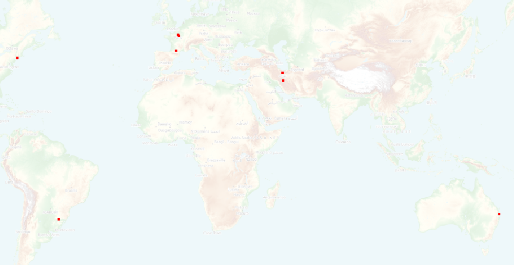
Hi @giohappy thanks for the feedback. @timlinux or @Gustry will be able to answer. We will be deploying this as the OSM backend to GeoNode in Mozambique as per https://github.com/kartoza/geonode/issues/422
this is definitely a regression @Gustry. Please re-introduce the old behaviour and make the new behaviou a configurable (even default) option. Our very popular SAGTA Map Downloader has depended on...
same issue for me p, li { white-space: pre-wrap; } QGIS version | 3.28.2-Firenze | QGIS code revision | b47e00ba60 -- | -- | -- | -- Qt version |...
The help text and the control interface are both wrong. One has to create an expression through 'Edit', in this case using my field 'offset', which is a single integer.
This repo is deprecated and not maintained. @timlinux or @mazano should be able to recommend what to use instead (and put a deprecation notice in this repo)
shouldn't we just be choosing an historical flood map that matches the reported level, not generating a new one?
"raster" from above: ``` xml raster gdal cleanafrica_relief.tif tiff ``` "countries" from above: ``` xml Countries_style &dbname; 0 &extent; &geometry_field; &host; &password; &port; &srid; a_countries &datasourcetype; &password; ```