dusko23
dusko23

Example 1:  Example 2:  Font size must be defined in Points. Otherwise (pixels) offset is even bigger. Labeling Polylines works just fine. No offset is introduced if the...
The tool to measure the radius and rectangle distance is handy. However, it appears that there is no way to change how the distance label is rendered. When a satellite...
Hi, One of the functions I am implementing is a tool to convert DBF Files from one Codepage to a different one. Typically UTF-8. Here is an example of one...
I decided to submit this proposal after gaining loads of experience creating a converter from XLS, XLSX, XLSB, and CSV to Shape File. The process goes in two steps. The...
Using the SFmap object on the OpenStreetMap shape file data raised some interesting points. The main goal is to produce acceptable raster maps from OSM data using fine-tuned RendederSettings. GetBitmap...
It would be good to have UseLabel Property as well. Currently, I have added an additional string parameter to the ShapeFile Tag object to tell which Colum to use to...
Shadow Arrow too short or Arrow too long or vice versa. 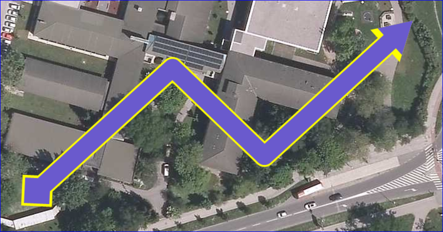
It appears that Polygon Rendeder does not support making borders thicker than 1 pixel. However, it supports LineStyle which has a little visual effect. A property to enable Fixed Border...
For editing purposes, I use pressed CTRL or Shift Key respectively to achieve bespoke functionality SFmap object **uses both Keys to Show the Selection rectangle/circle**. Is there a way to...
Suggestion based on #43 works fine. However, when SFmap CRS (EPSG) is changed (changing SFmap raster map backdrop from local raster map to OSM tiles in my case) shapefile shows...