coastwx
coastwx
It is the same. We downloaded the recent version of WRF and the geogrid data maybe two months ago and the index file had endian=little. That line can either be...
Yes. Apologies. I think it was done correctly and submitted. 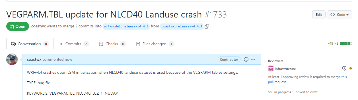
Noted. I see that recent LANDUSE.TBL iterations have expanded the num_land_cat for NOAH variations for this LCZ paradigm. RIght now the PX LSM init stops the initialization if num_land_cat does...
 PX may work just fine if the condition for 61 landuse cats is added here. This is where I'll start FYI.
@wbfaded @weiwangncar I'm starting to work on this issue. Need some details on the namelist that was used for LCZ initiation. I created a geogrid file using geog_data_res = 'default',...
@wbfaded @weiwangncar Worked a few hours on this early today. I'll need some advice on how to get 61 NUM_LAND_CAT defined. This is not clear. I did multiple tests but...
@weiwangncar Thank you for the guidance. This should put me on the right track. I should have some time this week to jump on this again. Will report back asap.
Just an updated that I fixed the issue. I'll follow with a pull request. I did a test run for 1 day and see no strange issues. I ran a...