nationalmap
 nationalmap copied to clipboard
Australia's NationalMap

I’d like to let you know that Queensland now also has up-to-date fuel price reporting data available which could be included in the National Map. The data, which includes locations...
- Data displayed only as a chart with no geography highlighted - https://nationalmap.gov.au/#share=s-2LXnhgZJxOpE43Gd6r7YtWfQUkn  - Data with values displayed in the workbench with no geography, nor chart displayed at the...
It would be great if the old link https://www.nationalmap.gov.au/#share=s-oDPMo1jDBBtwBNhD could be re-directed to this new link https://www.nationalmap.gov.au/#share=s-luHej9Kc1zRXIbA2oO3rzHKadWJ
Examples: Working in v7: - NSW - Local Gov - Lake Maquarie - Tuesday bicycle paths: https://nationalmap.gov.au/#share=s-8nD2ToF12Dtv6Pjt6BFE6dnOH0a - Bulk waste areas - https://nationalmap.gov.au/#share=s-8nD2ToF12Dtv6Pjt6BFE6dnOH0a - Dog exercise areas - https://nationalmap.gov.au/#share=s-oeFMrYX7WbkN8SIbjhFogWUFfhx -...
We don't have region mapping for LGA 2019 and 2020. We only have it for 2011, 2012, ..., 2018 From ABS SDMX 
 Not sure how to deal with this dataset, the region-mapping is incompatible with STE (state) regions

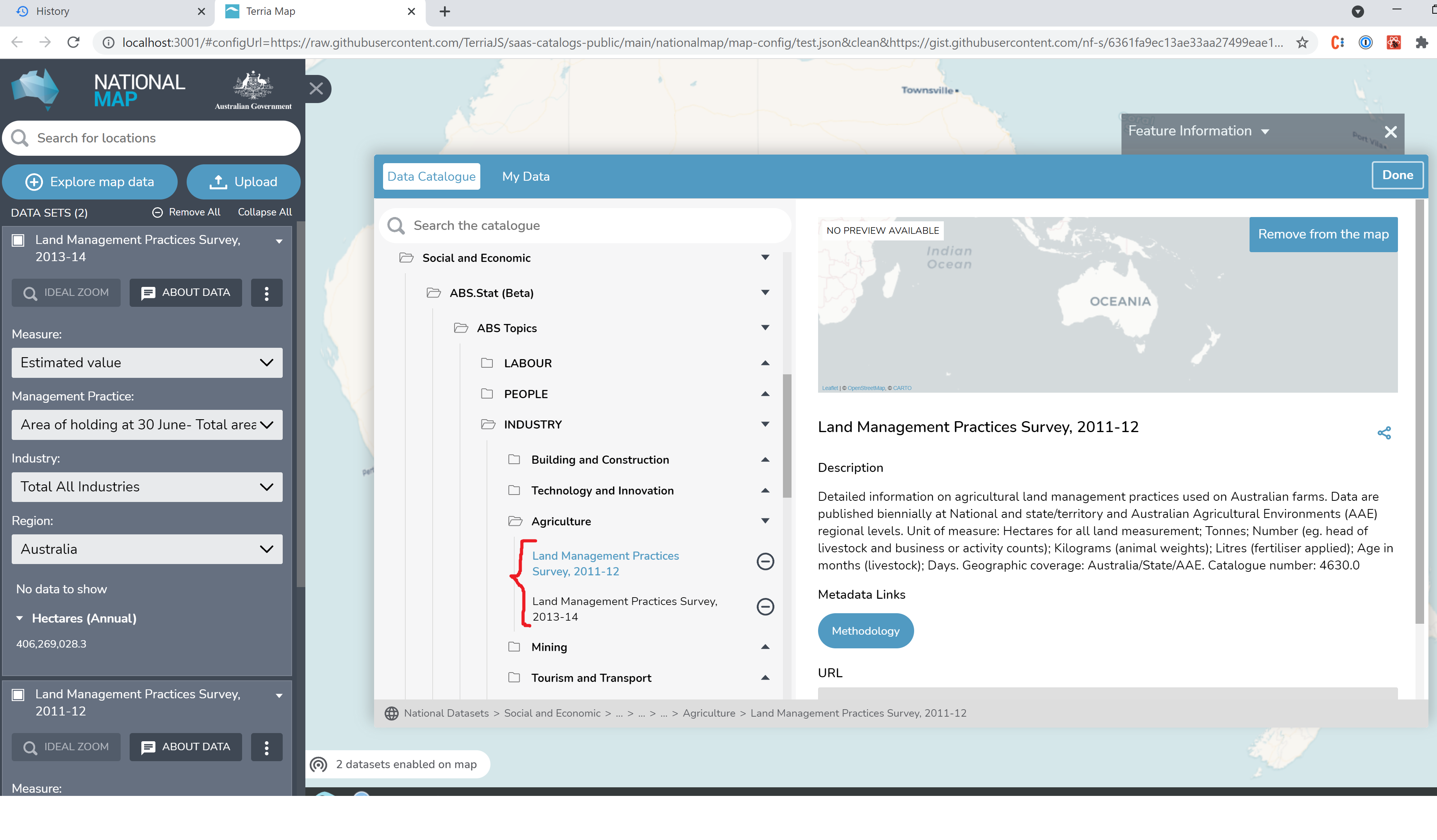 Alternatively, I can display by State until we sort out AAE regions
Not sure how to handle region mapping for these datasets, they use the following: - "CL_ASGS_2011" codelist - "ABS:CS_GEOGRAPHY(1.0.0).REGION" concept - "ASGS_2011_STATE_GCCSA_SA4_SA3_SA2" - dimension ID And they do not have...
