h3
 h3 copied to clipboard
Rotate / translate the grid to achieve a different size and pattern
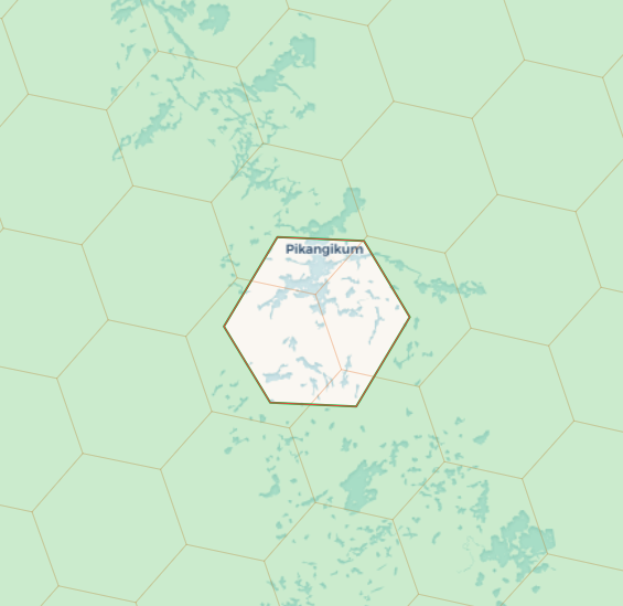
Starlink's coverage map at starlink.com/map looks extremely similar to a H3 grid system, but if one overlays the two, they are distinctively different, see attached screenshot of a H3 grid with a single Starlink cell overlaid.
Where would I start to modify the H3 library in order to achieve the grid that Starlink is projecting?
The Starlink map looks to me like a web mercator projection with a 2D hex grid superimposed on it (I'm betting just for visualization purposes). So it is a fundamentally different sort of grid than a spherical grid like H3.
This is likely impossible. The H3 grid is based on an icosahedron model (lots of detail here), with specific choices about the position of the icosahedron and method of subdivision built into the grid. For this to be translatable to Starlink's grid, the Starlink grid would have to be constructed with almost all the same choices as H3 (except perhaps the orientation of the icosahedron). It looks at first glance like Starlink's grid might be slightly more complex than @sahrk suggests (if it was just web mercator, I'd have assumed north/south aligned hexagons, and they seem to change orientation somewhat over the globe), but unless it's actually using H3 (which as far as I can see it's not) it's very unlikely to be mappable to H3.
Thank you for your input - it does seem challenging to adapt the H3 library to do this, without knowing the exact input parameters Starlink uses. The grid does in fact rotate as you move around the globe, I have verified this by translating a cell from the US to Europe, and there is a rotation there. They could indeed have rolled their own based on the principles of H3, it is definitely not as simple as a 2D hex grid onto a web mercator projection.
BTW, if you want to do data analysis on Starlink's data, you can polyfill their hexagons with a much finer H3 grid and continue from there, though it will still be tougher as you'll need to treat the source like "raster" data and neighbor analysis will be less precise.