Rose Pearson
Rose Pearson
Currently only support way type OSM rivers for defining alignment 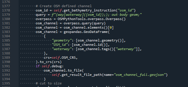 Support relational ones too. This is relevant for places like Whakatane Mouth: https://www.openstreetmap.org/way/970645729 Upstream: https://www.openstreetmap.org/way/926635708 combined: https://www.openstreetmap.org/relation/13389298 Note that...

- [ ] Take perpendicular samples find the high point, align to this and extract the high point. introduce as a "self aligning" - [ ] Support adding a patch...
Currently we produce a single waterway raster for all waterways considered together. This leads to errors with large files. consider generating each separately as generally these will be much smaller...
* Split out waterways DEMs one for each waterway DESCRIPTION OF PR: - [x] Make code change - [x] Update tests - [x] Update / create new tests - [x]...
* Sample perpendicular to (smoothed?) specified stopbank * Update the stopbank location * Define stopbank crest height DESCRIPTION OF PR: - [ ] Make code change - [ ] Update...
DESCRIPTION OF PR: - [ ] Make code change - [ ] Update tests - [ ] Update / create new tests - [ ] Ensure these tests have the...
- [ ] Geometry fixes to ensure robustness to river inputs - [x] Make generation from multiple LiDAR datasets more efficient by only using older surveys to populate missing areas...
* new test of this from land category and table of values * also look at splitting out each lidar dataset layer for the raw_dem and roughness stages to reduce...