otbutz
![]()
otbutz
@karussell this dataset looks really good to be honest. https://github.com/abrensch/brouter/issues/539#issuecomment-1540621266
Fixes #2783
The web UI fails to properly center as well, so here's a quick screenshot for reference: 
https://wiki.openstreetmap.org/wiki/180th_meridian > In theory, it should be a meridian like any other. In OSM, there's two copies at ±180° longitude because the data model doesn't wrap around, so they mark...
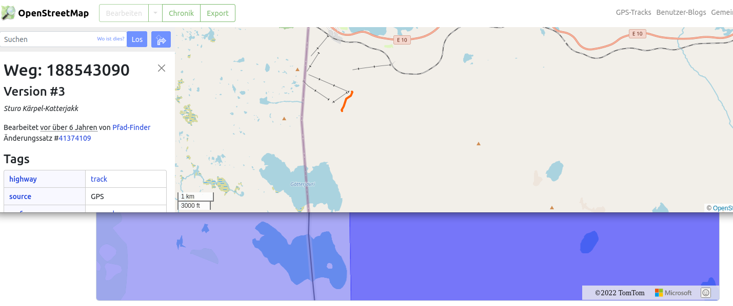 Seems to be right on top of our simplified border.
Loaded the borders file into https://geojson.io and the problem is indeed caused by inaccurate simplification: 
To clarify the extent of the mismatch: 
The solution i'm currently experimenting with: ```json "if": "car_access == false || hgv == NO", "multiply_by": "0" ``` Without `car_access` i don't get any oneway handling. But this also blocks...
An example from the [OSM wiki](https://wiki.openstreetmap.org/wiki/Key:hgv#Tagging_examples): `access=no` + `hgv:designated` which describes the following restriction:  Regular traffic including cars is prohibited but trucks should use this road.
But I agree that those combinations are not that common and `car_access` + `hgv` is usually enough to cover 99% of the tagged roads.