openmaptiles
 openmaptiles copied to clipboard
Landcover/usage vectorised incorrectly when split into smaller chunks
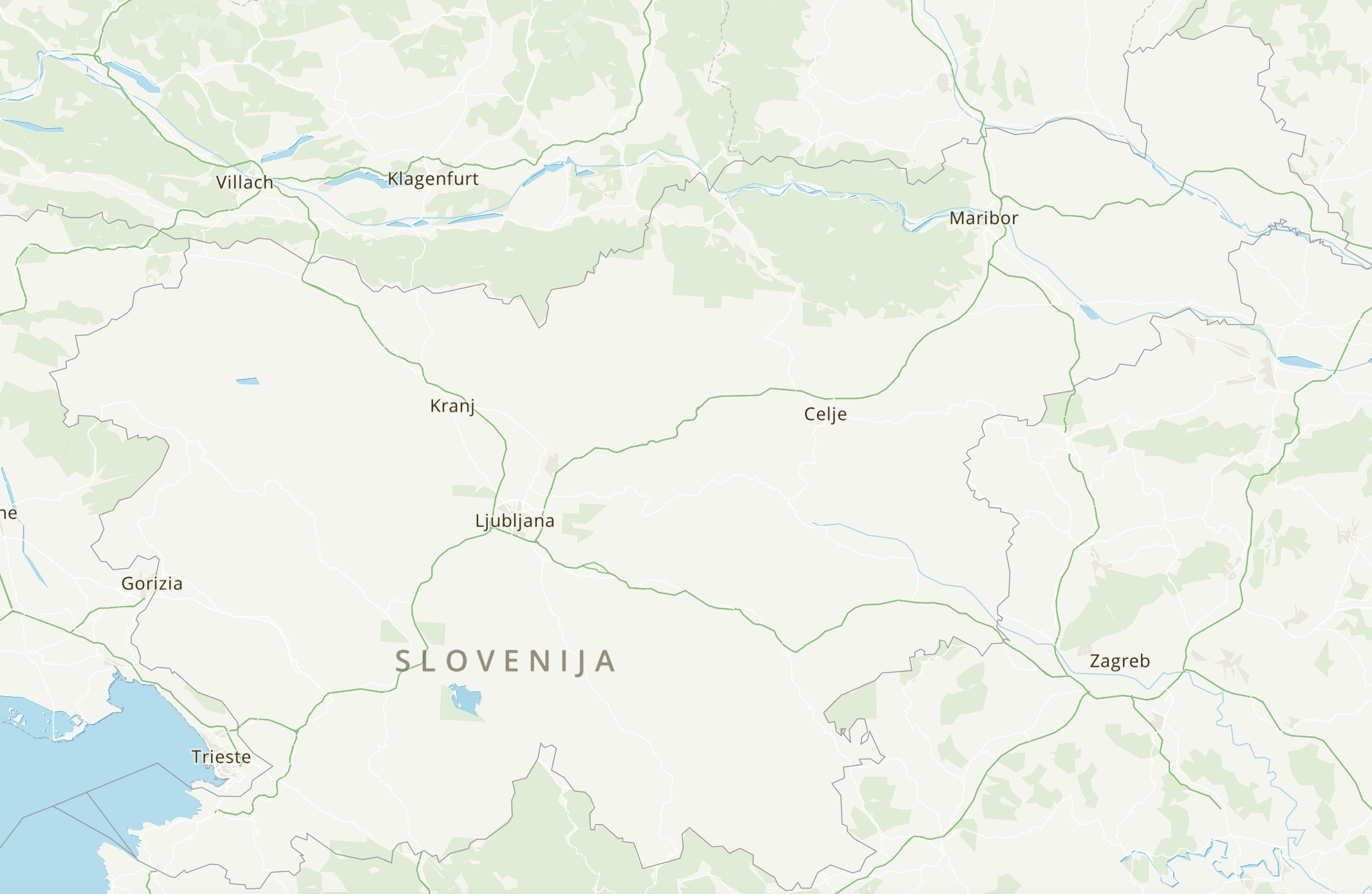
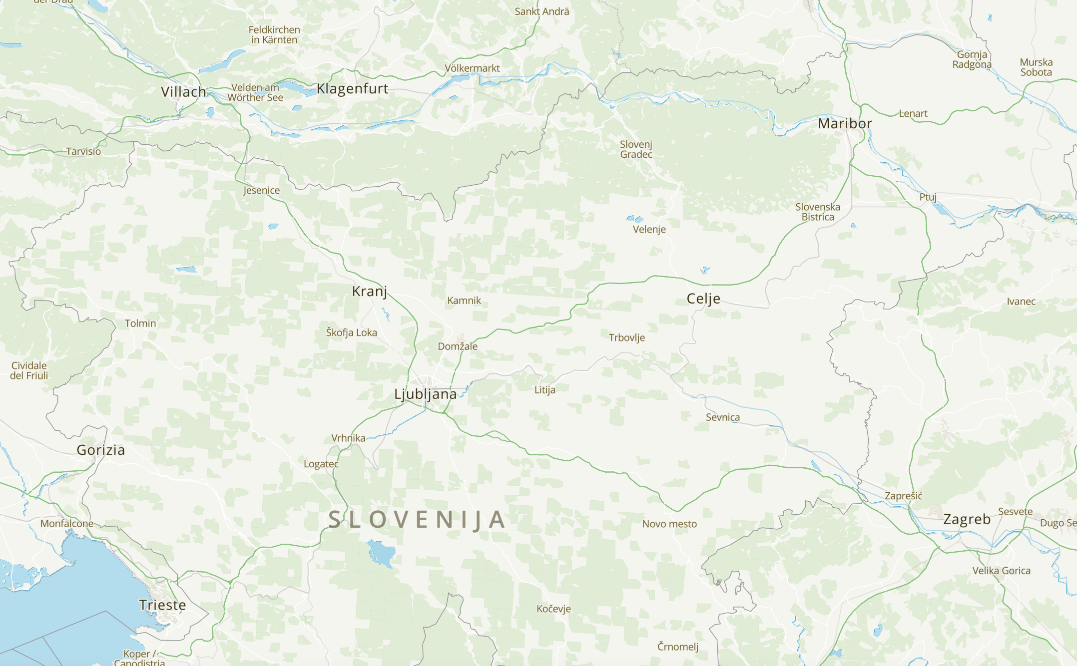
Slovenian landcover/usage is split into 2x3 km rectangles. When this is parsed from OSM it causes rendering on small zoom levels as tiles think it's a small polygon.
Can be observed on MapTiler: https://data.maptiler.com/downloads/dataset/osm/europe/slovenia/#7.1/46.155/14.993
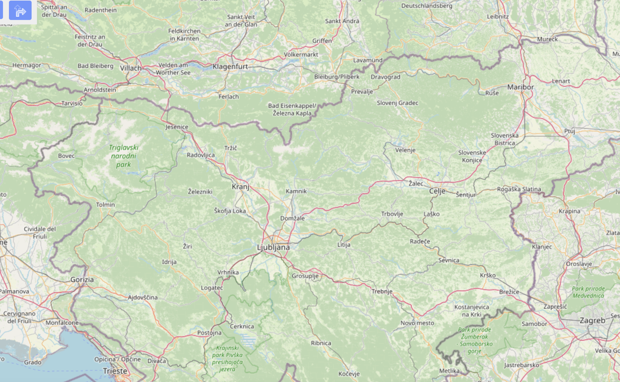
The third screenshot is OSM directly: https://www.openstreetmap.org/#map=9/46.2064/14.4333
Should these rextangles be merged in OSM or can something be done here?
Seems to be related to #1035 (but it does not seem to be working for Slovenia).
Merging them in OSM would result in some huuuugeeee multipolygons, making them near impossible to edit.
A similar issue #201 was raised previously and I mentioned Slovenia in the comments, but apparently it was fixed only for higher zoom levels.
Thanks for pointing this out. This should be part of the processing (fixing) landcover layer (e.g. use other filter then area). Any help is very welcome.
@TomPohys do we know how maptiler globallandcover is generated? i feel like somehow the did it better there. maybe check that region to see if we see the same thing there at zoom 9