Maning Sambale
![]()
![]()
Maning Sambale
A way for others to download data. For example: - Download the raw data. - Download the data including the geometry. For example the administrative polygon that includes the attributes...

For inspiration, checkout iD's style. Unconnected node has larger circle than a connected one. 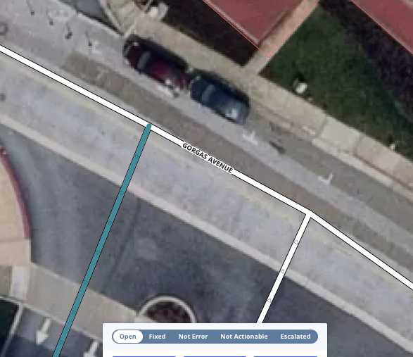 idly 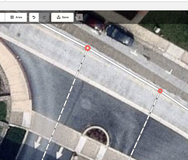 iD
Several options, I want when inspecting a changeset: - Select a specific object way/node and open in (JOSM, iD). - Zoom to a specific area and load data in (JOSM,...
For discussion here how do we update OSM with the latest building data from LA County. For context, our previous import were based on the 2008 LA building data, the...
 We noticed several waterways overlapping buildings while working on [Northwest](http://labuildingsimport.com/project/15#task/41). This was an old import from the [National Hydrography Dataset](http://wiki.openstreetmap.org/wiki/National_Hydrography_Dataset). Many of these...
While [validating Catalina Island](http://labuildingsimport.com/project/9#task/411), I noticed some data issues. Not directly actionable in this import but logging here for future actions on cleanup. ...
We are seeing cases of undetected crossinghighways. Posting stub ticket as we investigate the problem. To replicate. 1. Download latest qa-tiles 2. `osmlint crossinghighways --zoom=12 --bbox="[-88.3265, 41.4343, -87.1057, 42.2823]" united_states_of_america.mbtiles...
Compiling examples of missing detection for islandhighways  [OSM way](https://www.openstreetmap.org/way/571559969/history#map=19/41.86055/-87.62342)
Stub validator for missing oneway tag on drivethroughs. Source [wiki](https://wiki.openstreetmap.org/wiki/Tag:service%3Ddrive-through) - [ ] Add test fixture - [ ] Add fixtures mbtiles
Running from latest master of overlaphighways linters I get error 👇 ``` 230 tiles processed in 1s/Users/maning/projects/git/osmlint/node_modules/@turf/turf/turf.js:179 if (!isNumber(coordinates[0]) || !isNumber(coordinates[1])) throw new Error('coordinates must contain numbers'); ^ Error: coordinates...