geofacet

geofacet copied to clipboard
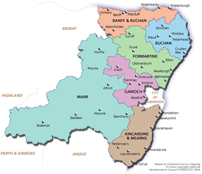
new grid: 'aberdeenshire_ward_grid'
Grid of Aberdeenshire's Multi-member Wards'
https://www.openstreetmap.org/#map=9/57.0123/-3.3714
Grid data:
"name","code","row","col"
"S13002848","Banff
and
District",1,3
"S13002849","Troup",1,4
"S13002850","Fraserburgh
and
District",1,5
"S13002852","Peterhead
North
and Rattray",2,6
"S13002851","Central
Buchan",2,5
"S13002854","Turriff
and
District",2,4
"S13002853","Peterhead
South and
Cruden",3,6
"S13002856","Ellon
and
District",3,5
"S13002855","Mid
Formartine",3,4
"S13002857","West
Garioch",3,3
"S13002861","Huntly",3,2
"S13002858","Inverurie
and
District",4,4
"S13002859","East
Garioch",4,5
"S13002860","Westhill
and
District",5,5
"S13002862","Aboyne",6,3
"S13002865","Stonehaven
and Lower
Deeside",6,5
"S13002864","North
Kincardine",6,6
"S13002863","Banchory
and Mid
Deeside",6,4
"S13002866","Mearns",7,5