geofacet

geofacet copied to clipboard
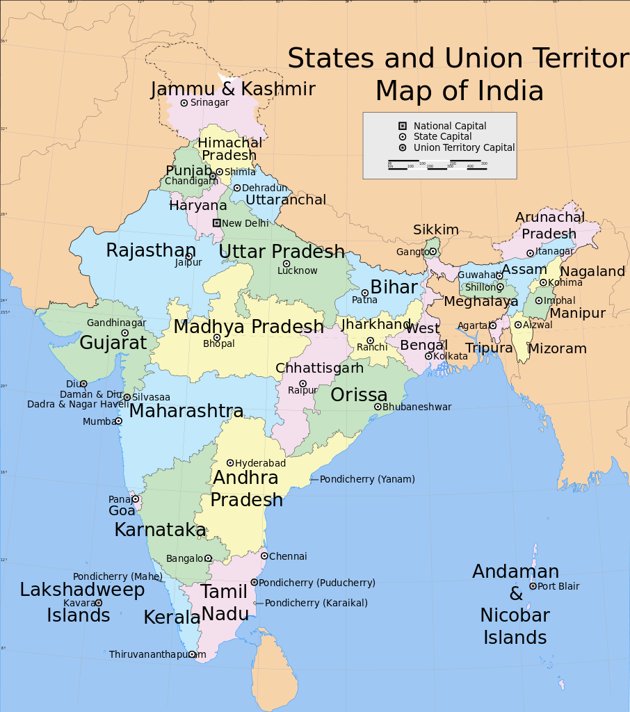
New grid for India -- now contains Union Territories as well
[[Version 3 of the India states and union territories facet grid. Changes compared to previous grid: now the following union territories are included as well: Chandigarh, Delhi, Lakshadweep, Andaman and Nicobar Islands, Ladakh. This brings the total number of rows to 34 = 29 states + 5 union territories.]]
Grid data:
,code,row,col,name
1,JK,1,3,Jammu and Kashmir
32,LA,1,4,Ladakh
3,HP,2,4,Himachal Pradesh
31,CH,2,3,Chandigarh
2,PB,3,2,Punjab
5,UK,3,4,Uttarakhand
22,AR,3,8,Arunachal Pradesh
4,HR,3,3,Haryana
6,RJ,4,2,Rajasthan
7,UP,4,4,Uttar Pradesh
8,BR,4,5,Bihar
23,SK,4,6,Sikkim
24,AS,4,7,Assam
25,NL,4,8,Nagaland
30,DL,4,3,Delhi
9,GJ,5,1,Gujarat
10,MP,5,2,Madhya Pradesh
11,JH,5,3,Jharkhand
12,WB,5,5,West Bengal
14,CG,5,4,Chhattisgarh
26,ML,5,7,Meghalaya
27,MN,5,8,Manipur
13,MH,6,2,Maharashtra
15,OD,6,4,Odisha
16,TS,6,3,Telangana
28,TR,6,7,Tripura
29,MZ,6,8,Mizoram
17,GA,7,2,Goa
18,KA,7,3,Karnataka
19,AP,7,4,Andhra Pradesh
20,KL,8,3,Kerala
21,TN,8,4,Tamil Nadu
33,AN,8,6,Andaman and Nicobar Islands
34,LD,8,1,Lakshadweep