Natalie
Natalie
ahh ok I will create one with _start_date and _end_date with the updating raw_data part and use that in the wys_api.py for da DAG
In `vz_safety_programs_staging.signals_cart`, there are 6 unique asset type: - "Leading Pedestrian Intervals" - "Audible Pedestrian Signals" - "Uninterruptable Power Supply" - "Pedestrian Crossovers" - "Traffic Signals" - "LED Blankout Signs"...
Looks like px will be duplicated if multiple asset types are present. I'm gonna continue with filtering for `Traffic Signals` in the view then :meow_salute: 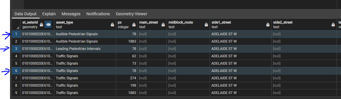
Thanks for looking into it! 1. The centreline version I used was `gis.centreline_20220705`, so there might be some differences comparing to `gis.centreline`. 2. There are different cases as to why...
@ShahrzadBorjian2 Rusholme Park Cres and College is now fixed.
Currently backfilling daily and monthly data for the 4 affected segments, for more info on the steps of updating segments, see this [commit](https://github.com/CityofToronto/bdit_congestion/commit/3ea0a893e315fa271e2efad4e6a2bd26473696a7). :meow_salute:
Also add direction in `congestion.network_segments`
Thanks for pointing them, int_id and px now added.
Found some discrepancy of street names between the detector table and `bluetooth.segments`. For example, analysis_id 1453197 in bluetooth.segments: street = `college` and start_crossstreet = `parliament`, but in `cnangini.detectors`: street1 is...
> `PX` added to `cnangini.detectors` from `gis.traffic_signals` by string matching street names. > 18 detectors do not have a matching intersection in the gis table: > > detector_name street1 street2...