Alan McConchie
Alan McConchie
@pnorman Yes, contributing to upstream is hard, because most of the files in github are actually derived products from an ESRI Geodatabase that lives on someone's machine somewhere. So I...
It looks like our place names file (https://github.com/CartoDB/CartoDB-basemaps/blob/master/data/z4to10.json) has an error in it. The problem is that "North Shore, New South Wales" is ambiguous. The suburb of Port Macquarie is...
https://github.com/CartoDB/CartoDB-basemaps/pull/32 should do it.
Yes, I've wanted this for a long time! At Stamen we'd also like to do this for our Toner style: https://github.com/stamen/toner-carto/issues/13
Add a new dataset, either by uploading one, or choosing something from their data library. 
Preview the data table, and use their styling wizards to display one of the fields on the map: 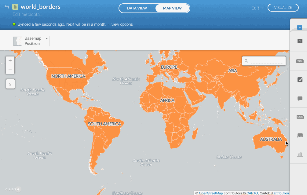
I think you're right. Try now, I think I reverted to the last good version.
Use the SQL window to select part of the dataset, and save the extracted data as a new table: 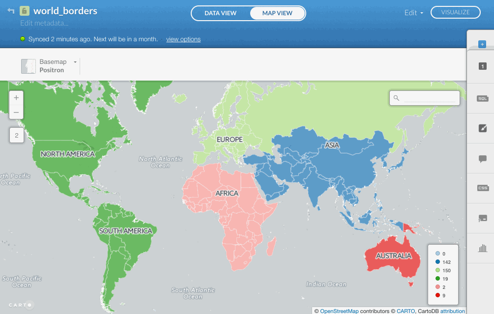
I doubt any of us at Stamen will have a chance to look at this for the next few weeks, but I just wanted to say that this idea is...
Those internal dashed lines look like they used to be borders between shapes? It is trying to dissolve the yellow part of Virginia into a single polygon? Or were those...