NodeODM
 NodeODM copied to clipboard
Tiles compression using WebP, instead of PNG tiles. Using WebP (optionally) as input format for overall process.
What is the problem?
PNG tiles, after generating ortophotos - was so huge, so i found my own way of tiles compression. Using Imaginary i achieved ~10x compression (200 mb --> 20 mb) of PNG tiles to WebP tiles without image quality loss.
Example 1:
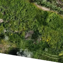
PNG with size of 157kb
 WEBP tile with compression level 70% and file size 15.2kb
Example 2:
PNG map zipped size = 243mb:
 WebP map non zipped size = 24 mb:

After this step I tried to use WebP as input for ODM. In case if file named as <filename>.PNG I can pass JPG or WebP as input, but cannot use <filename>.webp.
So i compress my dataset for processing ~5Gb from PNG to ~260mb
Input PNG 15.6mb
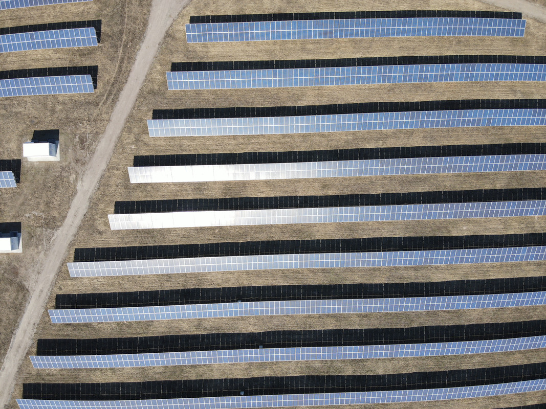
Compressed WebP 2.6mb
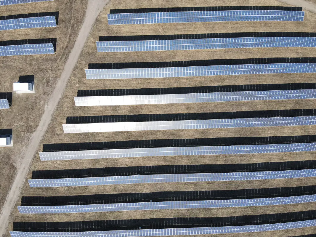
Partially result of using WebP instead of PNG as input.
For using WEBP as input, i just convert it to WebP, and renamed from 
What should be the expected behavior?
Using optional parameter for NodeODM - Compress to tiles to WebP. and Use WebP as input
AVIF would also be amazing to test out as well, as it tends to compress better than WebP in most cases, and with better fidelity.
https://www.ctrl.blog/entry/webp-avif-comparison.html
AVIF would also be amazing to test out as well, as it tends to compress better than WebP in most cases, and with better fidelity.
https://www.ctrl.blog/entry/webp-avif-comparison.html
Main problem is browser support: https://caniuse.com/webp vs https://caniuse.com/?search=avif
AVIF would also be amazing to test out as well, as it tends to compress better than WebP in most cases, and with better fidelity.
https://www.ctrl.blog/entry/webp-avif-comparison.html
Main problem is browser support: https://caniuse.com/webp vs https://caniuse.com/?search=avif
It's certainly more forward looking, but I think it'd be great as an additional option alongside WebP.
For a while a go I switched form using seperately generated tiles to Cloud Optimized Geotiff's (which NodeODM generates as well). With a frontend library like geotiffjs, you can use them as if you have seperate files for each tiles. You should check it out.
Closing as COGs are probably the better way to do tiling these days (as it's been pointed out).