joshinils
![]()
![]()
joshinils
the contour colour could be dependent on the background colour, meaning, if the building is atop a problematic colour then it could get an outline tailored for that background. this...
I live in Germany. the distinction would be that it is not mandatory to use cycleways without signage. so, the value I pertain to is `*=designated` and `*=yes` (every existing...
> > I would also distinguish the mandatory use of the infrastructure provided. To me, the word designated means it is mandatory to use it by way of signage. >...
the difference is, that a separately mapped cycleway as part of a footway (with` segregated=yes`) gets drawn in green, whereas with the tagging as part of the road way it...
> Use bicycle=designated to render this footway in blue. But it isn't, a cyclist is merely allowed to use it, so `bicycle=yes` is the correct tag, for `bicycle=designated` it needs...
> `bicycle=yes` is applicable where it is necessary to mark that cycling is legal, but there is no explicit designation for use by cyclists. By my understanding, "explicit designation" would...
Overall the Problem with dashed lines could be, that one confuses them with the property of cycle lanes or shared lanes, which also are dashed. So either one could show...
an option is to use width for the smoothness scale and keep the dashing like it is now: 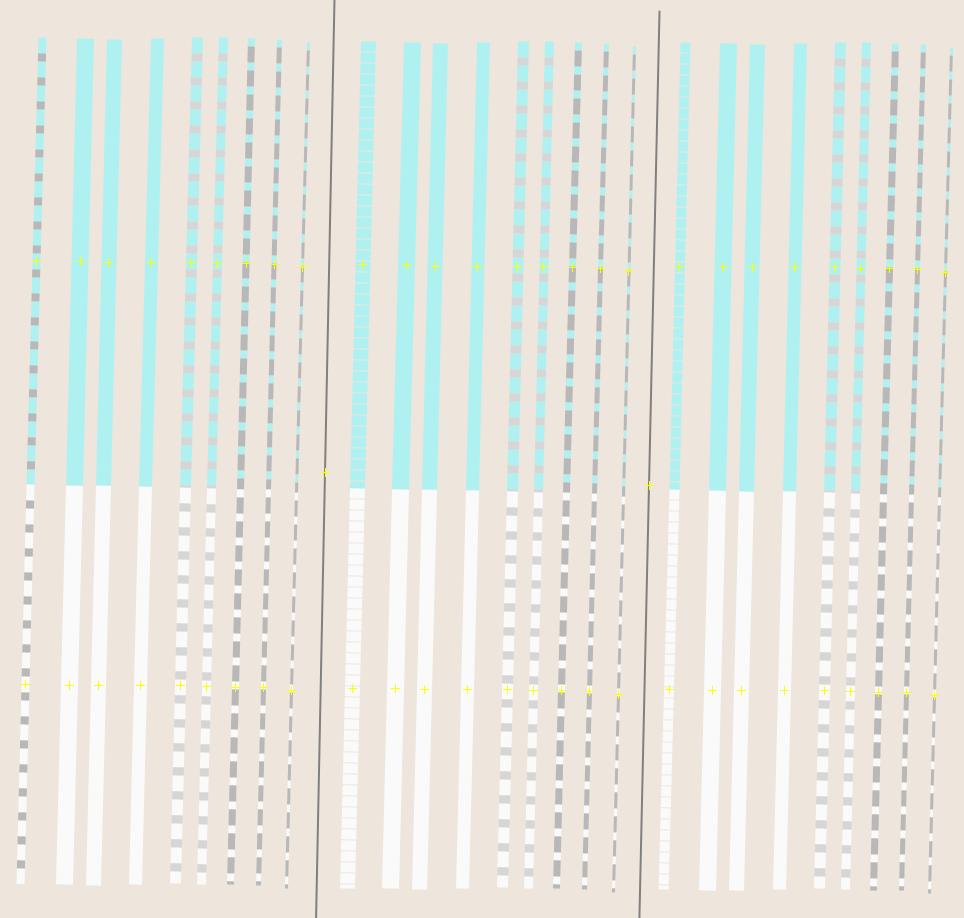 however that could very easily be confused with the actual width...
another option is to vary the thickness of the dashes: 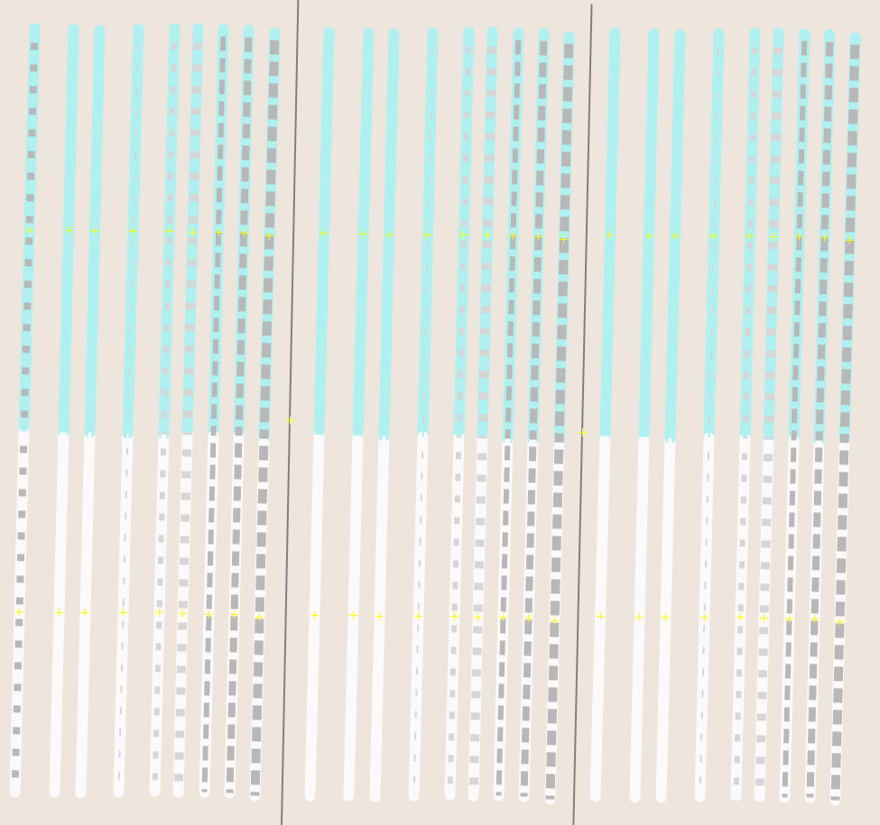 though this could also lead to the same confusion as the original idea
yeah, varying the grades only such a little such that they are not easily distinguishable is not the best. One could use a more clear colour scale like , but...