datashader

datashader copied to clipboard
0.6.2 Offset question.
Review of raw input data points against three methods of density counting. DataShader appears to have an offset. The input data (33 records) CSV zip file is attached.
DataShader 0.6.2, Cell size is 0.0005 degrees

Custom Method, Cell size is 0.0005 degrees
ESRI ArcMap, Cell size is 0.0005 (~50 meters), Search Rectangle 0.0005 degrees

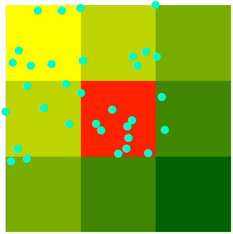
I am entirely happy with what datashader 0.14.2 is doing with this data. Example code:
from bokeh.models import ColorBar, LinearColorMapper
from bokeh.palettes import Spectral
from bokeh.plotting import figure, show
import datashader as ds
import pandas as pd

df = pd.read_csv("f2.csv")

# Canvas size in data units
dx = 0.0005
xmin = 0
xmax = 2*dx
npixels = 4

cvs = ds.Canvas(plot_width=npixels, plot_height=npixels, x_range=(xmin, xmax), y_range=(xmin, xmax))
agg = cvs.points(df, x="lon", y="lat")
print(agg)
max_count = agg.max().item()

p = figure(width=500, height=400)
color_mapper = LinearColorMapper(palette=Spectral[max_count+1], low=-0.5, high=max_count+0.5)
p.image([agg.to_numpy()], x=xmin, y=xmin, dw=xmax-xmin, dh=xmax-xmin, color_mapper=color_mapper)

color_bar = ColorBar(color_mapper=color_mapper)
p.add_layout(color_bar, "right")

p.circle(x="lon", y="lat", source=df, color="black", size=10)

show(p)
Output:

You can alter xmin, xmax and npixels are it all looks entirely consistent.
Given that there is no evidence of an offset and the original post is 5 years old, I am happy to close this issue.